Here we bring you several historic maps of Uffculme and surrounding areas and some less conventional plans and drawings relating to the history of Uffculme. (Clicking on each image will show you a larger version.)
A very detailed (6 inches to 1 mile) Victorian Ordnance Survey map of Uffculme (1888 – 1913) can be found online at the ARCHI UK Maps Database, a free online resource, by clicking this link
-
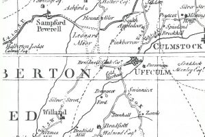
- Section of a map of Devon produced by Benjamin Donn in 1765, showing Uffculme, Willand, Bradfield, Bridwell and Sampford Peverell. The map was reproduced in full in 1965 by Devon and Cornwall Records Office and Exeter University to mark the map’s 200th anniversary
-
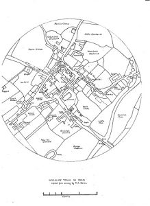
- Circular map of Uffculme, circa 1840, produced by Richard Dunstan Bevan for the tithe map
-
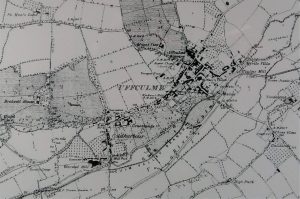
- From a map of the 1880s this section shows the main part of Uffculme villlage, centred around the Square and Fore Street. Coldharbour, Grantlands, Mount View, Uffculme Brewery and Bridwell House are all visible as is the line of the railway
-
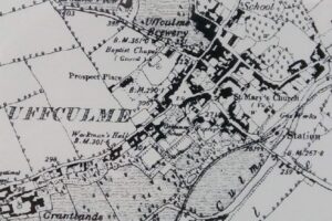
- A closer view of Uffculme village centre from the 1880s map
Many of the headstones from graves in the grounds of the Parish Church, St. Mary’s, were removed during the late 1990s. Before that was done, a plan was created plotting the location of the known graves and attempts were made to decipher the inscriptions on the headstones. Some time later, this hand-drawn diagram was painstakingly drawn up by Annie Saunter (current Chair of Uffculme Local History Group). It is known that many more people were buried in the churchyard over the centuries before burials were moved to the cemetery close to the Three Elms area of the village.
-
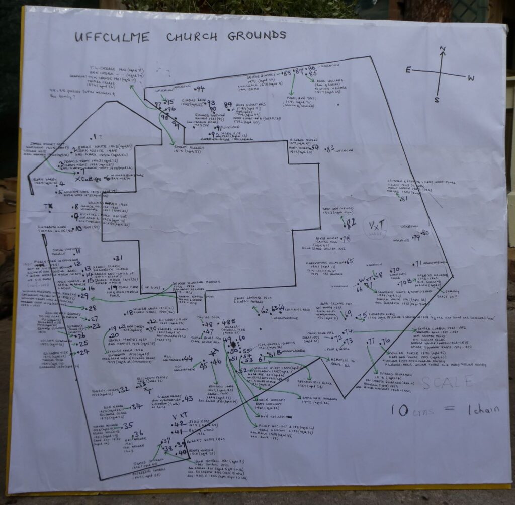
- Hand-drawn plan of known graves in the grounds of St. Mary’s Parish Church, Uffculme
A former clerk to the Parish Council, Francis Welland, whose family name has been familiar in the parish for many generations, drew up a plan of the many shops in the centre of Uffculme in the 1950s. We reproduce that plan here:
-
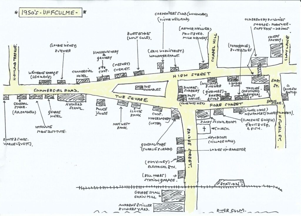
- Hand-drawn plan of shops in central Uffculme in the 1950s, created by Francis Welland
Our Heritage Board provides a map of the central areas of the main village, and is marked with notable venues:
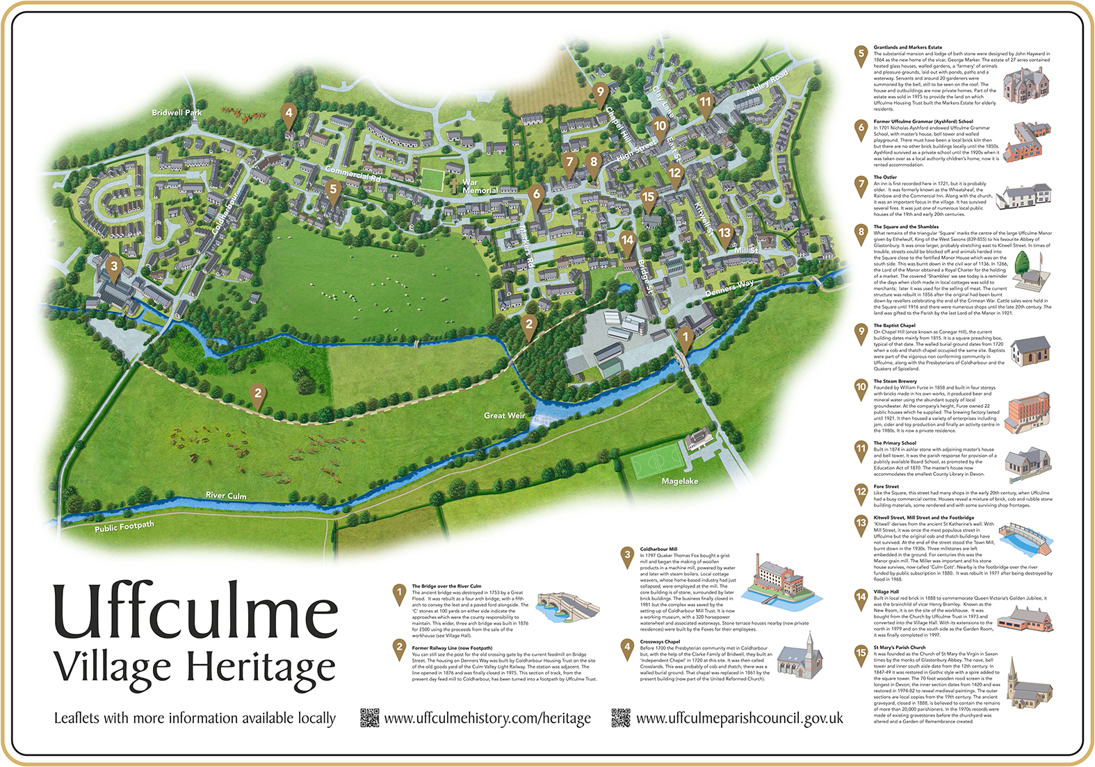
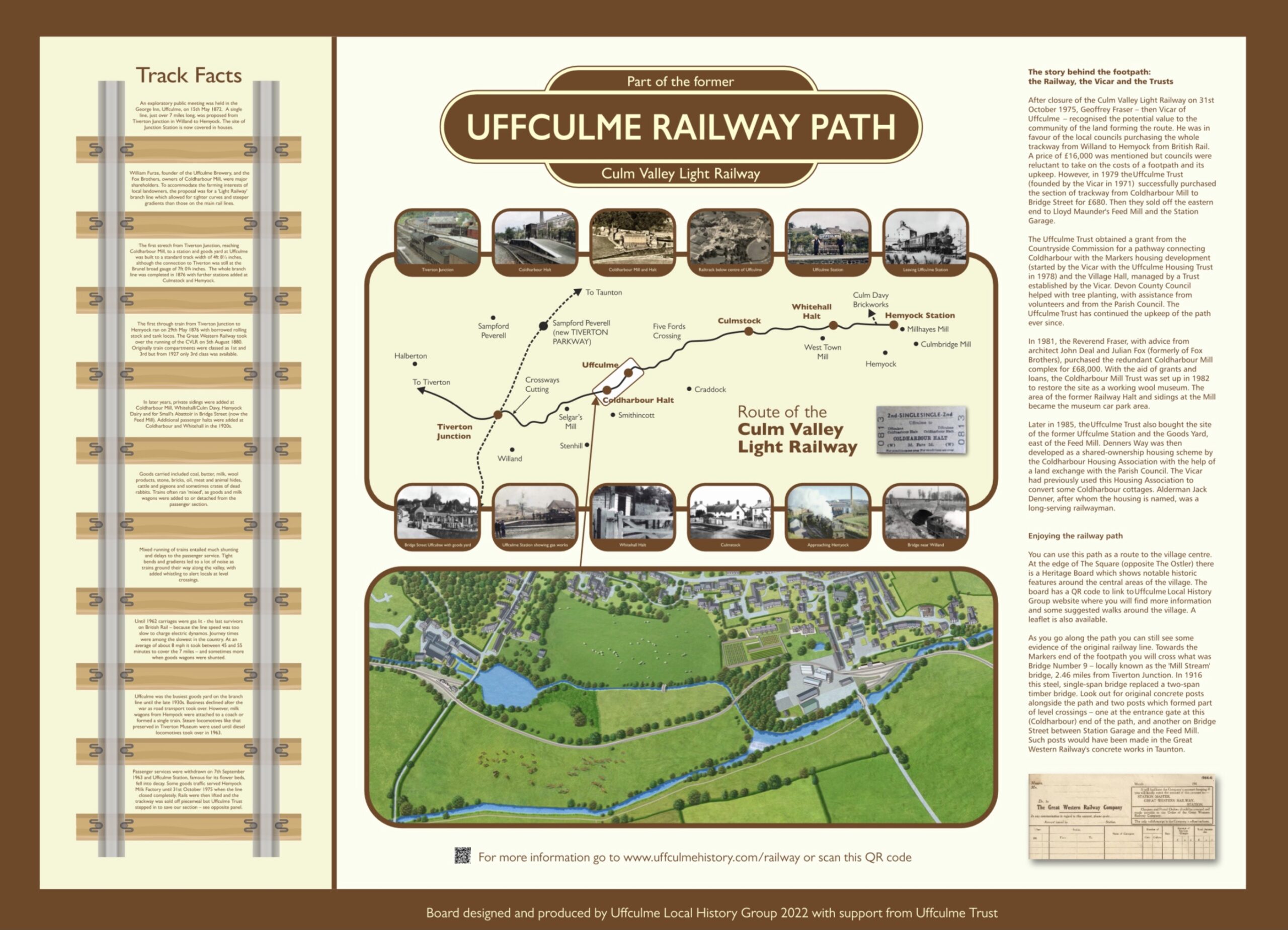
Whilst the Railway Path Board details history of the Culm Valley Light Railway and the section of the former trackway which is now a popular footpath: