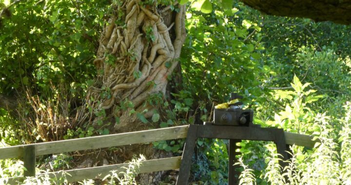
In this bizarre year of 2020 we were not able put on a physical exhibition to participate in the 2020 Heritage Open Days event. Instead we created this gallery bringing together aspects of where the past and the present meet, particularly where nature has taken advantage of some of the structure and fabric of Uffculme’s history – appropriate for Heritage Open Days’ 2020 theme ‘Hidden Nature’. As Local History Group chair, Annie Saunter, said in her September article “Uffculme has never been a chocolate box village” but everywhere there is evidence of the activity of past generations: Coldharbour Mill, the old Furze Brewery, numerous different mills, schools, shops and many other small businesses. There are all sorts of hints of the infrastructure of the past often peeping out from foliage or adapted to meet the needs of the present. Here’s a selection of photos taken in and around the village – and some taken very much earlier! For those of you living in and around the parish, many of these images and places will be very familiar. For those who don’t know the area, we hope it will give you glimpses of the past and the present in Uffculme – and may tempt you to visit in future. If you do, we’re starting to add some suggestions about walks to the website which we hope may be useful for your visit.
Click on each photo individually to bring up a larger version of the image (and use your ‘page back’ arrow to get back to this main article). [We’re sorry that at the moment there’s a glitch which means you need to look at each photo in turn as the ‘next’ and ‘previous’ buttons in the galleries are not working correctly!] We hope you enjoy our ‘exhibition’ and would very much welcome your thoughts, comments and memories via the contact page.
Footbridge Over the River Culm
A substantial footbridge, raised above the Culm river near the former Town Mill and Kents Farm, was erected in the late 19th century. The photos from an album of 1891 show how it looked at that time. A later image looks back across the river towards the Town Mill and reveals the small weir before the course of the water was changed. Recent photos shows the footbridge as it is now with nature thriving all around. These days, the bridge is much used by walkers and runners to access the footpaths to Yondercott, Hunkin Wood and on along the river to Culmstock. Once a year the bridge is used as the start of the village Duck Race, organised by one of our local pre-school facilities. Hundreds of sponsored yellow toy ducks are dropped from a dumpy bag into the river to race to the finishing line downstream at the stone bridge!
-
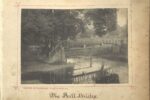
- A raised bridge crossing the River Culm close to the Town Mill near Kents Farm. The bridge was funded “by voluntary subscriptions” – a common way of providing a community amenity in the late 19th century.
-
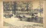
- The raised footbridge over the Culm in the winter of 1891 in very wintry conditions. The Mill referred to is the former Town Mill just below Kents Farm near to the bridge (houses are now on the site).
-
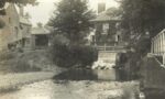
- A view from the other side of the Culm looking back at the Town Mill and small weir with the raised footbridge on the right
-
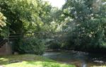
- The raised footbridge, originally funded by public subscriptions in the 19th century, has been renewed and strengthened since first built, but remains a well-used route across the river.
-
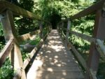
- A view across the raised footbridge over the River Culm, looking back to the steps back into the village.
Route of the Culm Valley Light Railway through Uffculme
The Culm Valley Light Railway ran from Tiverton Junction through to Hemyock, passing through Uffculme on its route. The full length of the line opened on Monday 29th May 1876. The Mill at Coldharbour had its own halt on the line from 1929 and Uffculme’s main station was at the bottom of Bridge Street in what is now Denners Way. Passenger services stopped in 1963 although the line continued to be used for goods transport to the dairy in Hemyock until 1975, when it finally closed. The stretch of railway line from Coldharbour Halt to just below the village hall, close to Bridge Street, was transformed into a footpath by Uffculme Trust and is now a much-valued, much-used amenity, providing a pleasant walking route from one end of Uffculme to the other (or very nearly end-to-end). A great example of hidden nature (with just a bit of help from humankind!).
-
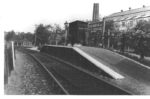
- The halt at Coldharbour which was created in 1929 to serve the needs of Coldharbour Mill. Now a car park for the working wool museum, the site lies adjacent to the start of the footpath
-
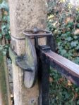
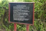
- Latch on the gate to the railway footpath at the Coldharbour end, Uffculme. The latch is mounted on one of only two remaining original concrete posts which supported crossing-gates of the railway
-
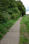
- The first section of the railway path route borders farmland
-
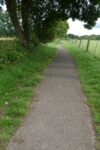
- The path meanders on for a while next to farmland on one side and Coldharbour Mill’s field on the other
-
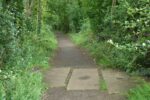
- There are still signs of the former railway line along the length of the footpath
-
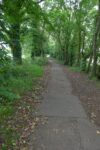
- Nature has regained a foothold along the railway path, including these maturing tree-lined sections
-
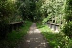
- Further signs of the footpath’s former use – a metal bridge crosses the leat which feeds Coldharbour Mill
-
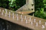
- Detail of part of the metal bridge over the leat, Uffculme railway path
-
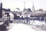
- Emerging into Bridge Street, the railway crossed to the station just beyond (now Denners Way)
-
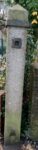
- Concrete post is all that remains now as evidence of where the railway track crossed the road before Uffculme station. It is outside the animal feed mill at the bottom of Bridge Street
-
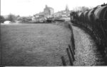
- The railway line crossed the river Culm soon after leaving Uffculme station
-
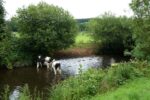
- The heavy metal bridge which took trains across the river Culm is long gone – this is approximately the site of the bridge as it is today. Nature and agriculture have taken over!
-
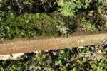
- Nature has encroached on some of the other remaining signs of the railway – a section of track beside a footpath on the other side of the river
-
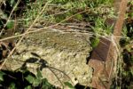
- The concrete and metal of the section of railway track haven’t stopped plants, mosses and lichens growing
The Great Weir
The river Culm around Uffculme has a history of being very much a ‘working river’. In past centuries the power of the water was much used for mills of various kinds. The section of the Culm close to Uffculme was a vital resource for Coldharbour Mill, the local textile mill established by the Fox family at the end of the 18th century; the reliable and continuous waters of the Culm were a prime factor in Fox’s decision to buy the mill and its surrounding land. The river was divided half a mile upstream of Coldharbour to feed a leat that went to the millpond. This water then ran to the waterwheel which powered the machinery in ‘the factory’. Although the Foxes installed steam engines in 1865, water continued to play a major role in the running of Coldharbour Mill and it is unusual in that the mill used combined steam and water power right up to the Mill’s closure as a factory as using water power for the night shifts was quieter. The ‘Great Weir’, as it was often known, was therefore of huge importance – these days nature has taken over most of its structure to the extent that its origins are becoming well hidden.
-
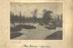
- A view of the river and Great Weir after heavy rainfall in 1891
-
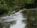
- Little of the weir remains visible in 2020, but this section can be seen from a footpath next to the river Culm
-
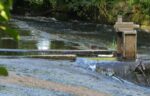
- It is just possible to see parts of the mechanism from the Great Weir
Cemetery and Churchyard
Churchyards, burial grounds and cemeteries are inevitably places where history and nature intertwine. They often convey that sense of continuity through the ages and generations, with nature providing a link and being a comforting presence. In Uffculme the places of worship all have their own small burial grounds (St Mary’s Church; the United Reform Church or Crossways Chapel; the Baptist Church and Spiceland, the Quaker Meeting House just outside the parish boundary). Being such small areas for burials, an additional cemetery was needed and was established in the last decade of the 19th century. Responsibility for it was assumed by the Parish Council in 1895. Photos from that time show the contrast as nature in the cemetery has matured.
-
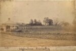
- A view of Uffculme cemetery in 1891, showing the Sexton’s house and newly planted yew hedging
-
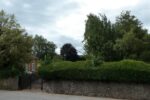
- View of the cemetery gates and Cemetery Lodge as it is in 2020
-
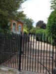
- View through the gates of the cemetery looking towards the burial areas
-
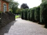
- The yew hedging along the cemetery path has matured in the past 130 years!
-
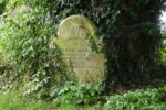
- The gravestone, nestling at the foot of a now huge yew tree, remembering Richard Jarman, who died in 1900
-
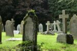
- Older gravestones at the top of the cemetery
-
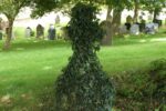
- An older, ivy-clad gravestone sits in front of more recent memorials to Uffculme’s loved ones
-
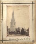
- St Mary’s Church in 1891 in a view taken from the garden of the vicarage on the opposite side of the road (then Church Hill)
-
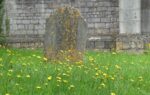
- Nature takes hold of a gravestone in St Mary’s parish church burial ground, with lichen covering the stone and wildflowers surrounding it
-
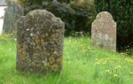
- Although there are relative few gravestones remaining in the churchyard, plans of the burial indicate that many hundreds – perhaps thousands – of people have been buried here over the centuries
-
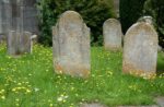
- Thorn and Manley family gravestones in St. Mary’s churchyard
-
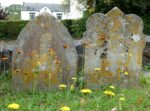
- Church House, formerly the vicarage but now a private home, can be seen in the background
-
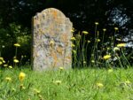
- The memorial stone to Elizabeth Percey of Bradfield, who died in 1819
-
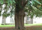
- One of two yew trees to the rear of St. Mary’s parish churchyard
-
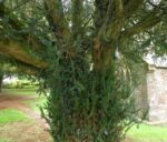
- The exact age of the two yew trees is unknown, but it is believed that one may have been planted in 1910 to celebrate the accession of King George V
Coldharbour Mill
Coldharbour Mill, about which there is an article on another page this of website and elsewhere, has played a major role in the history of Uffculme and continues as an important presence in its modern-day reincarnation as a working wool museum. Historic England describes it as ‘one of the best-preserved textile-mill complexes in the country’. As well as the main buildings there is extensive land adjacent, including a millpond and meadow. Nature thrives all around the site and this natural resource has been recognised as being a key part of Coldharbour Mill’s future, with a project underway to develop the millpond and meadow areas as a community nature amenity.
-
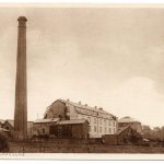
- Coldharbour Mill (‘the factory’) at the end of the 19th Century
-
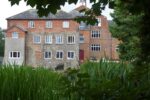
- Mill buildings through the foliage [Photo: JD]
-
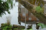
- Lower leat reflection of the familiar mill building
-
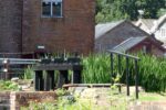
- Sluice mechanism between the upper and lower leats
-
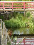
- Bridge over the lower leat at Coldharbour Mill[ Photo: JD]
-
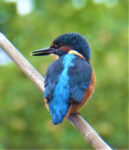
- Juvenile kingfisher on the lower leat [Photo: JD]
-
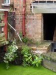
- Nature encroaches at the edges of the leat [Photo: JD]
-
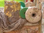
- Lichen on the stone wall with bobbins and yarn [Photo: JD]
-
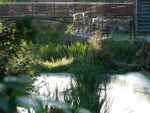
- Evening sun on the lower leat
-
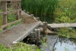
- Walkway by the millpond
-
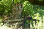
- The tree provides a backdrop for the sluice gate mechanism at the edge of the millpond
-
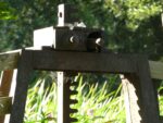
- Detail of the sluice gate mechanism at the edge of the millpond, with spider’s residence
-
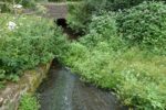
- Water runs from the millpond down under the stone road bridge to the lower leat
-
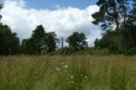
- The mill chimney shows through the trees, viewed from the Splash meadow
-
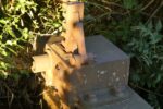
- Evening sun reveals another sluice gate mechanism hidden in the foliage of the leat
-
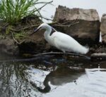
- A little egret is reflected in the water of the lower leat
-
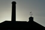
- Evening sky creates a bold silhouette
Grantlands
Grantlands, now a Grade II listed building, dates back to around 1864-65. It is believed that there was originally a farmhouse on the site but there is no specific evidence for this (that has so far been found, anyway). Between 1866 and at least 1871 the Reverend G. T. Marker, then vicar of Uffculme, was recorded as living there and it is likely that the Rev Marker was responsible for having it built. The property was bought and sold numerous times after that with a sale notice of 1890 describing its seventeen bedrooms, two dressing rooms, magnificent ash staircase, ‘four well proportioned reception rooms’ all set in 33 acres with stabling for twelve horses and a ‘model farmery’ which included three kitchen gardens. Numerous current village residents had relatives who worked at Grantlands which was famous for employing many gardeners. The house was used for troops during the second world war and afterwards was divided into individual homes, both in the main house and the outbuildings. Still flanked by farmland and with gardens looked after by households who live there, it still gives the impression of being nestled deep in nature.
-
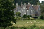
- Foregrounded with sheep in a field, the main house at Grantlands looks as it did in the 19th century
-
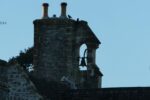
- The bell still exists on the main building – this used to ring “for forenoons and dinner time” according to a local man whose father worked at Grantlands
-
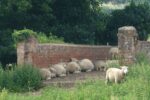
- Where once, in the 19th century, occupants of Grantlands used the bridge to access boathouses next to the stream, today the fields are part of a nearby farm and sheep use the bridge as a crossing – and a resting – place!
We hope you have enjoyed this selection of views of Uffculme, past and present. In the current circumstances of our challenging 2020, nature has been a huge consolation and source of strength to many people and it has been a delight to really notice how we share our past, present and future with the natural world. Do contact us with comments and queries and please do pop back to this website from time to time to see the new material we will be putting up. We relaunched our site to coincide with Heritage Open Days so it is very much a work in progress. See you again soon – in person or here in cyberspace!
Uffculme Local History Group